
Have a geo conundrum? Let’s talk!
Functional, cost-effective resource management begins with a deep understanding of place, stemming from geologic mapping, spatial analysis, research, content development, field interpretation, and stakeholder engagement. Geo Interpretive Solutions, LLC offers a flexible, multidisciplinary service model that supports professionals across conservation, spatial planning, and geo-tourism. By leveraging low-overhead operations, project-based staffing, and high value-to-cost efficiency, we deliver innovative, science-informed solutions at the intersection of data, communication, and sustainability.

Discover our services

Aerial imagery with grouped geologic units at Olympic National Park. Credit: Thornberry-Ehrlich (2024)
Geospatial innovation
Geospatial data are at the forefront of modern life. Who doesn’t use Google Maps? Imagine having your data come alive, revealing trends and useful patterns. Our team can make that happen. We design GIS tools to facilitate customized data analyses and expertly handle compliance with federal standards.

Paleogeographic reconstruction of Cretaceous life in a Texas sea. Credit: Thornberry-Ehrlich (2024)
Custom graphic design
A picture’s worth 1,000 words, so envision making your data relatable and understandable with attractive and informative graphics. Our team combines technical skills with artistic flair, distilling the most complex information into clear and persuasive diagrams and figures.
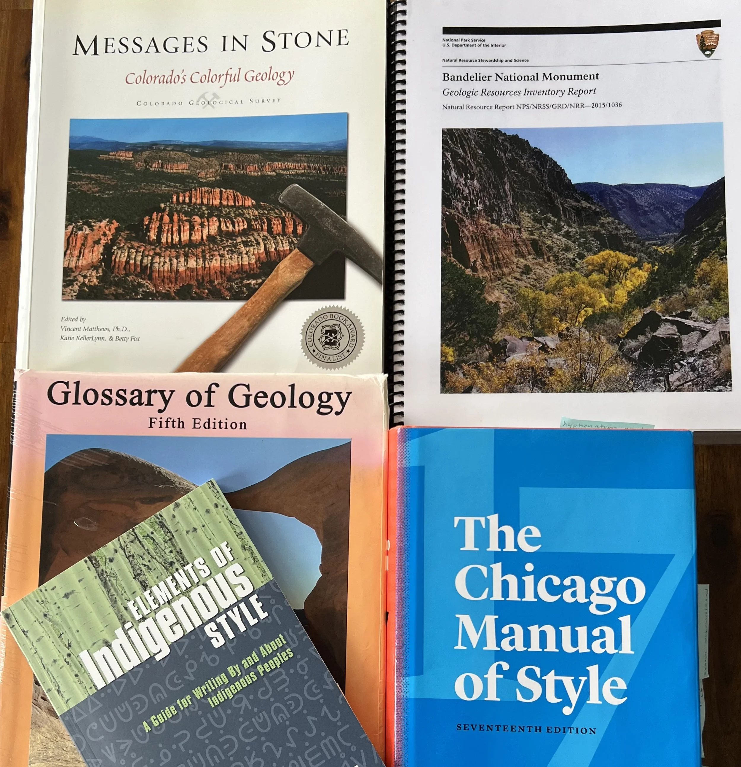
Collage of texts used by our technical writers to ensure quality content. Credit: Katie KellerLynn (2024)
Technical writing expertise
Is scientific jargon coming between you and your audience? Our team has decades of experience compiling diverse information and expressing complex concepts with clear and compelling text.
Our
guiding principle
Building on more than 50 years of combined experience, Geo Interpretive Solutions, LLC, applies geospatial information expertise, comprehensive research and writing, and creative graphic visualization to better understand, communicate, and manage natural systems.
3-D block diagrams showing the geologic evolution of western California. Credit: Thornberry-Ehrlich (2022)


Contact Us
Interested in working together? Fill out some information and we will be in touch shortly. We cannot wait to hear from you!